THREATS REMAIN FOR NH AS ISAIAS SHIFTS WEST; REPORTS OF DAMAGE IN CHESHIRE COUNTY
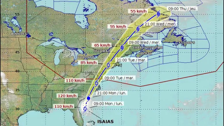
CONCORD – Tropical Storm Isaias’ track has mostly shifted west, however the entire state remains under a tropical storm warning until 6 A.M. Wednesday, according to NH Homeland Security and Emergency Management officials, who cite National Weather Service forecasts. A tropical storm warning means storm-force sustained winds of 39 to 73 mph are expected within the next 36 hours.
The latest forecast calls for heavy rain and potentially strong wind gusts to begin this afternoon with greatest impact into tonight through Wednesday morning.
Strong wind gusts are expected and could lead to power outages caused by downed trees and limbs. The threat of river flooding has decreased; however, there is a slight increase in a tornado threat to the state.
Marine conditions on coastal Rockingham County will be dangerous through Wednesday afternoon.
Officials urge residents and visitors to prepare now for potential impacts from Tropical Storm Isaias.
“Even though the threat has shifted mostly to the west, the entire state remains under a tropical storm warning until 6 a.m. Wednesday,” said NH Homeland Security and Emergency Management Director Jennifer Harper. “The forecast is changing, and that requires everyone to stay alert. Stay informed and have a way to receive emergency warnings so you know when to take action.”
If a flash flood warning is issued in your area, be prepared to evacuate to higher ground immediately. If a tornado warning is issued in your area, be ready to act quickly and seek safe shelter indoors. It is important to take these warnings seriously.
More detailed information can be found at ReadyNH.gov.
Residents should report power outages and incidents involving wires to their utility provider:
Eversource, 1-800-662-7764
Liberty Utilities, 1-855-349-9455
NH Electric Co-Op, 1-800-343-6432
Unitil, 1-888-301-7700